
Aug 23, 2022 | News
Map: SANBI When you look at a map of the vegetation of South Africa, the right half of the map is nearly dominated by one particular biome – grasslands. The grassland biome covers nearly a third of South Africa’s land area (339 237km2). Grasslands might bring up...

Aug 22, 2022 | News
Original article courtesy of SAEON SeaMap is a brand new South African marine project, recently awarded to SAEON’s Egagasini Node through the Foundational Biodiversity Information Programme (FBIP). Safiyya Sedick’s key focus in earlier roles has been describing new...

Jul 26, 2022 | News
R20 million per year. This is the estimated crop loss and control costs caused by fruit flies in the Western Cape alone. Moreover, a quarantine ban on the export of South African fruit due to the presence of fruit flies can be devastating to the economic welfare of...

Jul 15, 2022 | News
Members of the small mammal team carried out sampling at the Swebeswebe Nature Reserve and Hanover Nature Reserve sites this week. The team was led by Prof. Daniel Parker (University of Mpumalanga), one of the primary investigators on the Waterberg Biodiversity...
Jul 11, 2022 | News
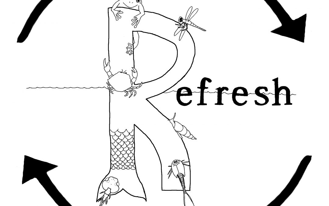
The unique freshwater biodiversity of South Africa is under increasing pressure from multiple impacts including global climate change, habitat degradation, hydrological modification through excessive water abstraction, as well as the spread of invasive species. The...
Jun 17, 2022 | News
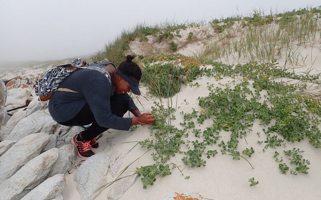
Featured image: a floristic survey of hummock dunes at Brandfontein near Cape Agulhas in the Western Cape. The waves broke with a thunderous, yet hollow thump that I felt in my chest. It left me feeling exhausted and energised at the same time. There are...